 Accurate location information and water-level data are critical for assessing groundwater resources. Prior to conducting groundwater investigations in a basin, it is necessary to establish long-term, water-level data sets to accurately evaluate climatic, seasonal, and groundwater development impacts on the aquifers.
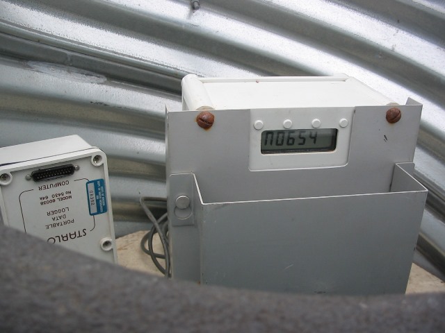
The Groundwater Hydrology Section maintains more than 400 state observation wells and measures more than 1200 additional observation wells throughout Oregon. Data are housed in the Groundwater Information System (GWIS).