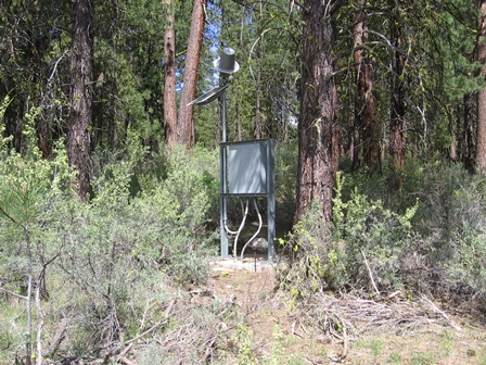
Monitoring the surface waters of the state is a vital component in understanding and managing our water resources.
The Department maintains a network of more than 250 stream, reservoir, and canal monitoring sites, which collect and periodically transmit surface water data values.
Click here to read more about the Streamflow and Surface Water Monitoring Program
WRD Programs Supported by Gage Data
|
Program | Use |
|
Water Availability | Determine amount of surface water available for allocation |
|
Peak Flow Estimation | Provide information about flood magnitude and frequency |
|
Seasonally Varying Flows | Estimation of environmental and habitat-forming flows important for establishing permit conditions of water rights |
|
Water Management | Distribution and regulation of water uses |
|
Place-Based Planning | Assist communities with establishing approaches to basin water planning |
|
Basin Studies | Develop water budgets and evaluate surface water-groundwater interactions |
|
Climate | Review local requests for drought declarations and evaluate water supply conditions around the state |