Transportation standards define how streets and the broader transportation systems are planned, designed and operated in Dallas. This section summarizes the key standards that guide future transportation investments, including how streets are classified, designed, and used for emergency response, freight movement and day-to-day travel. The information below provides a high-level overview, with detailed maps and examples shown on the accompanying presentation boards.
Learn more by clicking on the titles or the plus signs below.
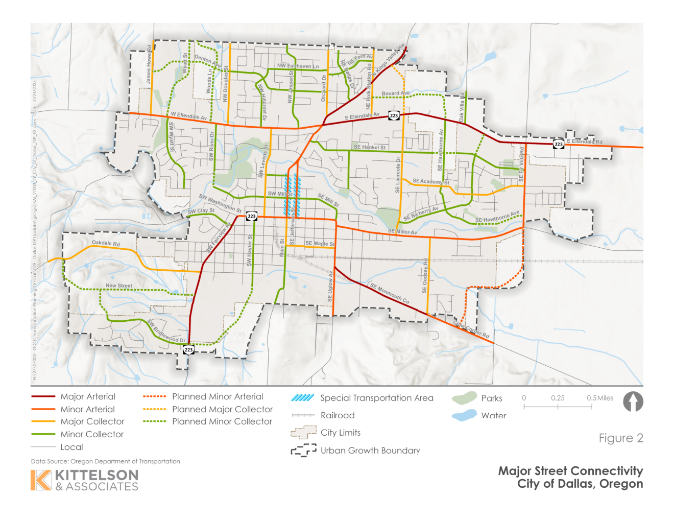
Functional classifications define the role each street plays in the transportation system. The project team reviewed and refined its functional classifications to better reflect how streets are used today and how they are expected to function in the future. These updates help ensure that street design, operations and investment decisions are consistent with community context, safety goals and state and county classifications.
Click the images to enlarge.
Road cross sections defined how space within the right-of-way is allocated among travel lanes, sidewalks, bicycle facilities, parking, landscaping and stormwater features. The TSP update includes a set of standard cross sections for each functional classification to guide future street projects and redevelopment. These cross sections support safer and more comfortable travel for all users while providing flexibility to respond to local constraints and surrounding land uses.
Click on the images below to enlarge.
For the major arterial transportation design standards, the team is considering removing the 5-lane cross section from the City Street Design Standards shown above. We have added a question to the survey to determine if there is support for this.
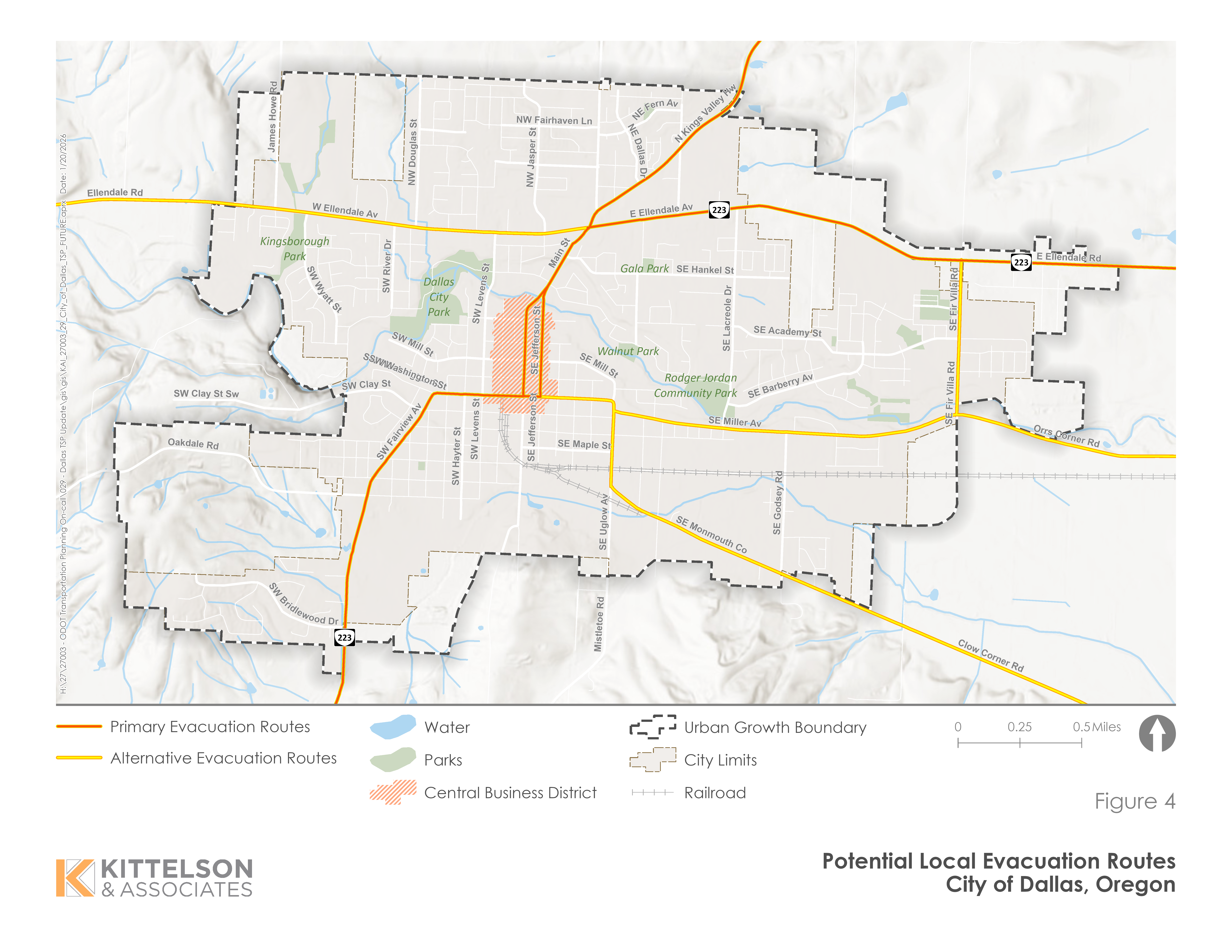
Local evacuation routes include streets that play a critical role in moving people safely during emergencies such as wildfires, floods or other natural hazards. These routes emphasize system continuity, redundancy and clear connections to regional highways and emergency facilities. The local evacuation routes help inform future street improvements, maintenance priorities and coordination with emergency responders.
Click the image to enlarge.
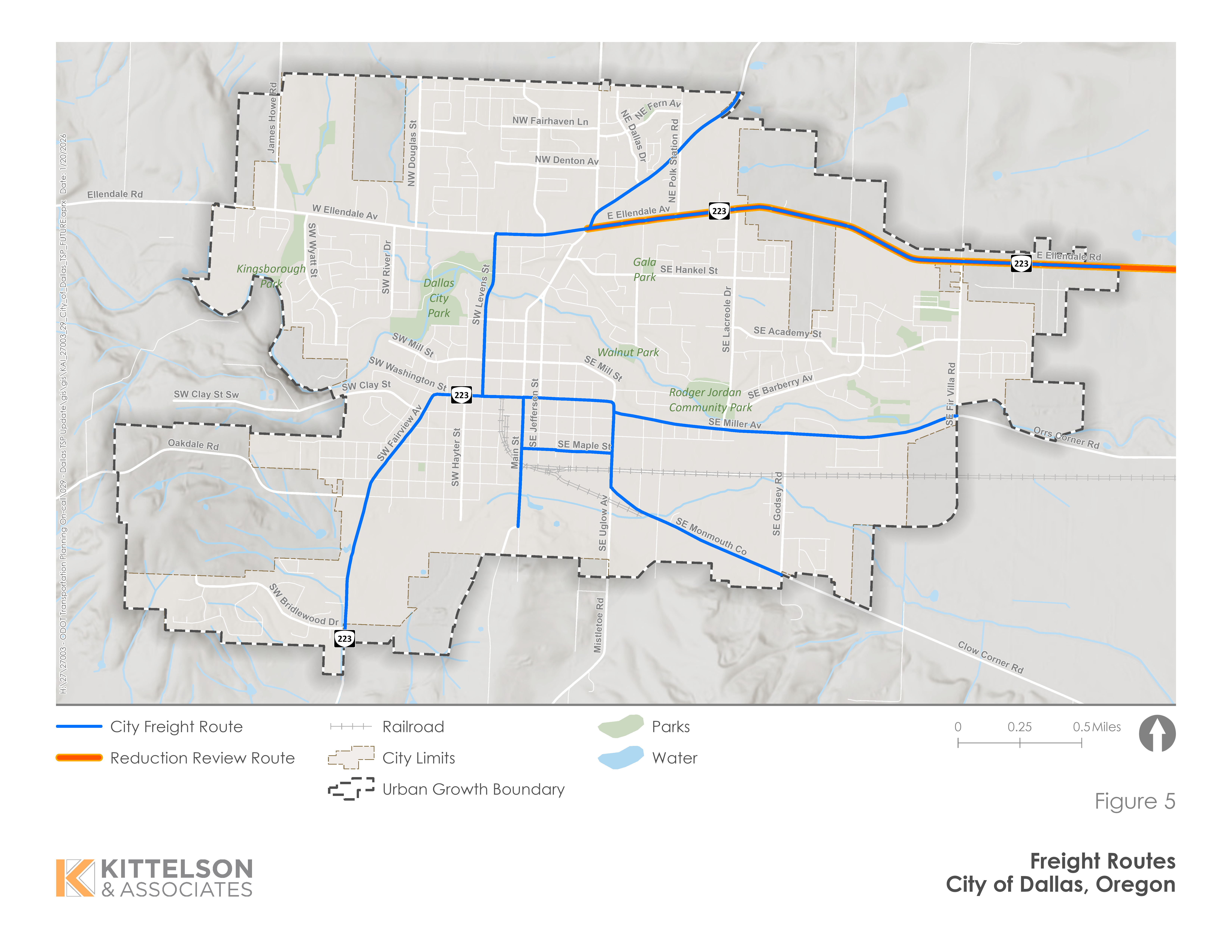
Local freight routes include streets that are important for the movement of goods, deliveries and service vehicles that support Dallas's businesses and regional economy. These routes help guide decisions about pavement design, intersection geometry, access management and coordination with state and county freight corridors.
Click the image to enlarge.
Transportation Demand Management, TDM, and Transportation System Management, TSM, strategies focus on getting more efficiency and value out of the existing transportation system before expanding infrastructure. TDM strategies reduce or shift travel demand by encouraging walking, biking, transit use, carpooling or flexible work schedules, while TSM strategies improve how streets operate through tools like signal timing, access management and safety enhancements.
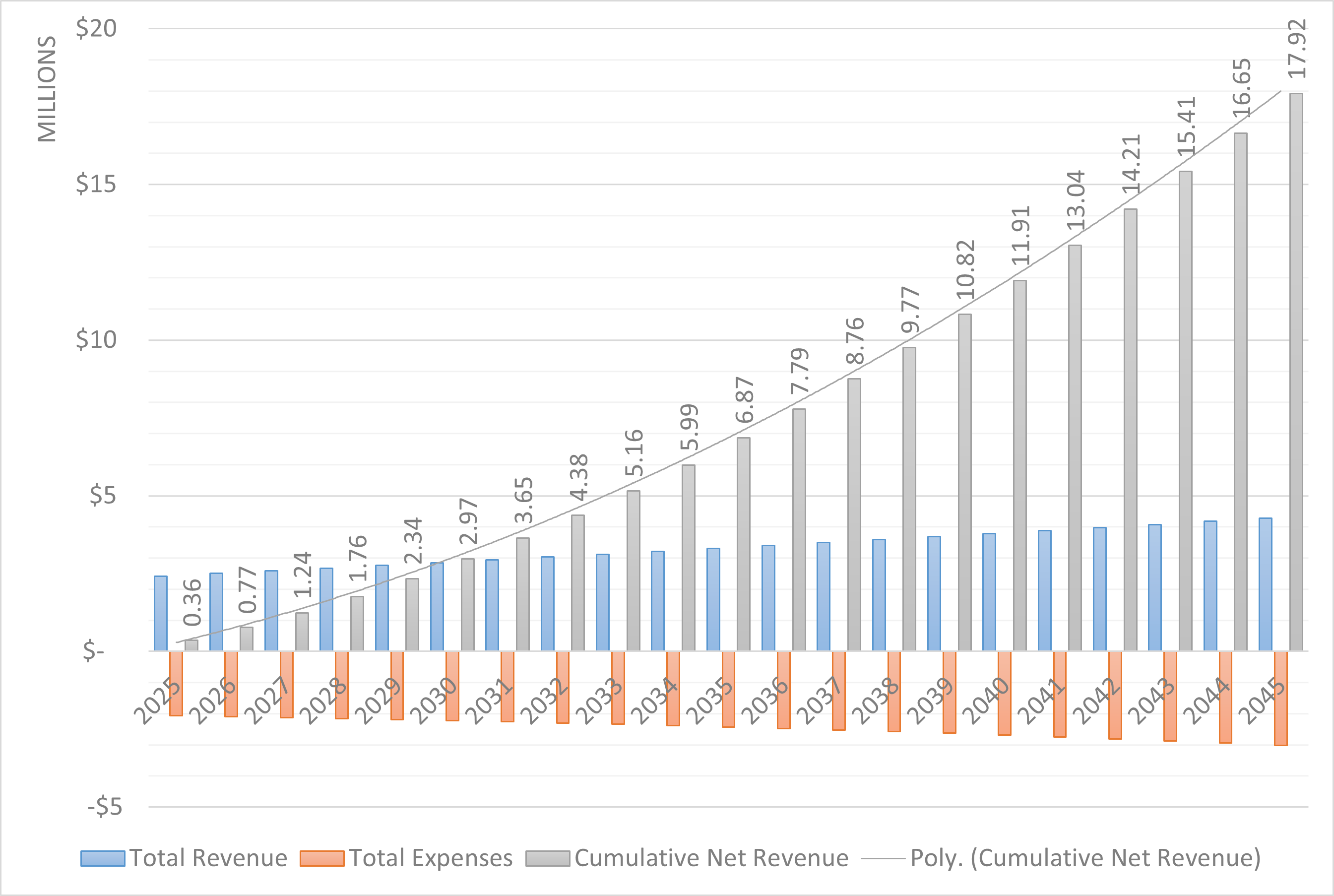
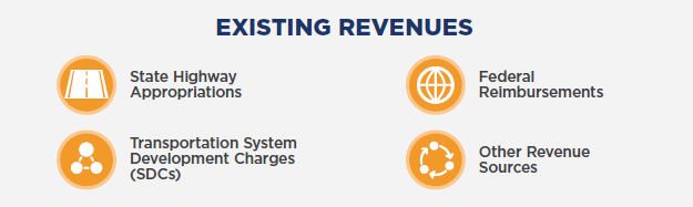
Transportation improvements in Dallas are funded through a combination of state highway revenues, transportation system development charges, periodic federal funding and other local sources. These revenues support day-to-day operations, maintenance and capital projects, but they vary from year to year and are not expected to fully fund all the improvements identified in the TSP.
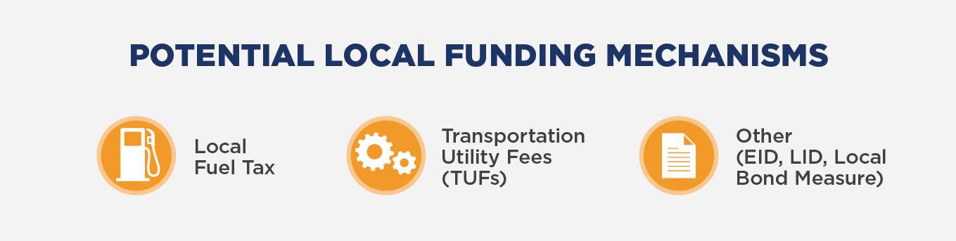
The financing analysis looks ahead 20 years to estimate how much funding the city can reasonably expect, identify gaps between needs and available resources and outline potential strategies for pursuing additional funding to implement priority projects over time.
Base Funding Forecast