Find geohazards in your neighborhood
The HazVu map provides a way to view many different geohazards in the state of Oregon.You can enter the address for your home, school, business, or public buildings in your area to see what hazards might affect you. You can print the map you create.
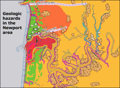
Geohazards include 100-year flooding; Cascadia Subduction Zone earthquake shaking and tsunami; coastal erosion; volcano; active faults; earthquake soft soil; landslide; and more. Assets include state-owned/leased facilities and public buildings such as schools, police and fire stations, and hospitals, as well as links to seismic assessment reports for these public buildings.
Please be aware that not all geohazards have been completely mapped; however, this viewer shows the best available data from DOGAMI.
What do I need to use the map viewer?
The map works in modern browsers and on mobile devices as well as desktop computers. If the map does not seem to work, please clear your browser's history/cache.
NEW ON HAZVU
03-13-2018 - updated Cascadia Earthquake Hazard layer to include Portland metro data from DOGAMI
Open-File Report O-18-02
01-29-2018 - added radon potential layer from DOGAMI
Open-File Report O-18-01; redeployed site using JavaScript