Oregon Sustainable Transportation Initiative (OSTI) has developed the Place Types land use classification tool. It provides an understanding of land use and transportation interactions that is intended to help local jurisdictions make more informed policy decisions. Land use decisions influence the transportation choices that individuals make, and ultimately affect the overall amount of vehicle travel in a region.  Place Types are a data driven way to classify and visualize the many aspects of land use and transportation interactions embodied in our land use plans, allowing us to measure the impact of land use changes on transportation outcomes.
In the Place Types tool, there are two important types:
Area Type (or Regional Role): It describes the interdependencies of each neighborhood compared to the rest of the region, e.g. how centered is it to jobs in the region. The Area Type is measured by the accessibility to destinations (job accessible from TAZ), density (jobs and households per acre), and the walkable street design (multi-modal network links).
Development Type (or Neighborhood Character): It describes the physical characteristics of each neighborhood in isolation. Development Type is determined by the density (jobs and households per acre), walkable street design (multi-modal network links), land use diversity (ratio of jobs to households), and presence of transit (service level), within each neighborhood district.
Find more information about this tool:Place Types overview
Note: All of the links below open online map viewers that display place type data for the geographic area (State, MPO, or Metro).
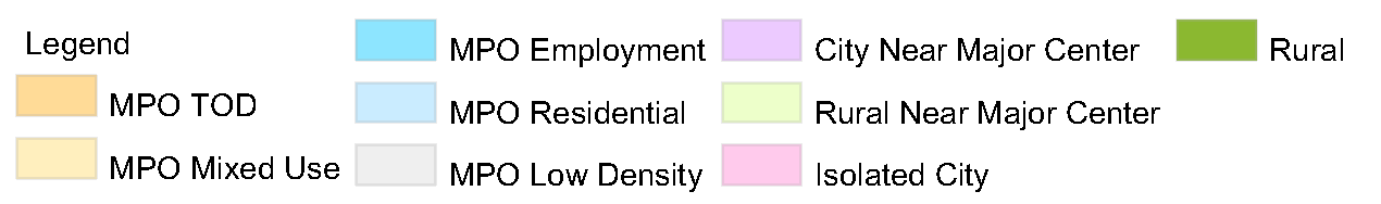
Metropolitan Area Development Type by Transportation Analysis Zone (TAZ)
Note: All of the links below open online map viewers that display place type data by TAZ for the geographic area specified.
Census Block Group Web Maps
Note: All of the links below open online map viewers that display place type data by Census Block Group for the geographic area specified.
**Note that the Portland Metro data is shown at the Census Block Group level, which is not directly comparable to the other MPO maps provided above.