DOGAMI OPEN-FILE REPORT SERIES
Publication Preview
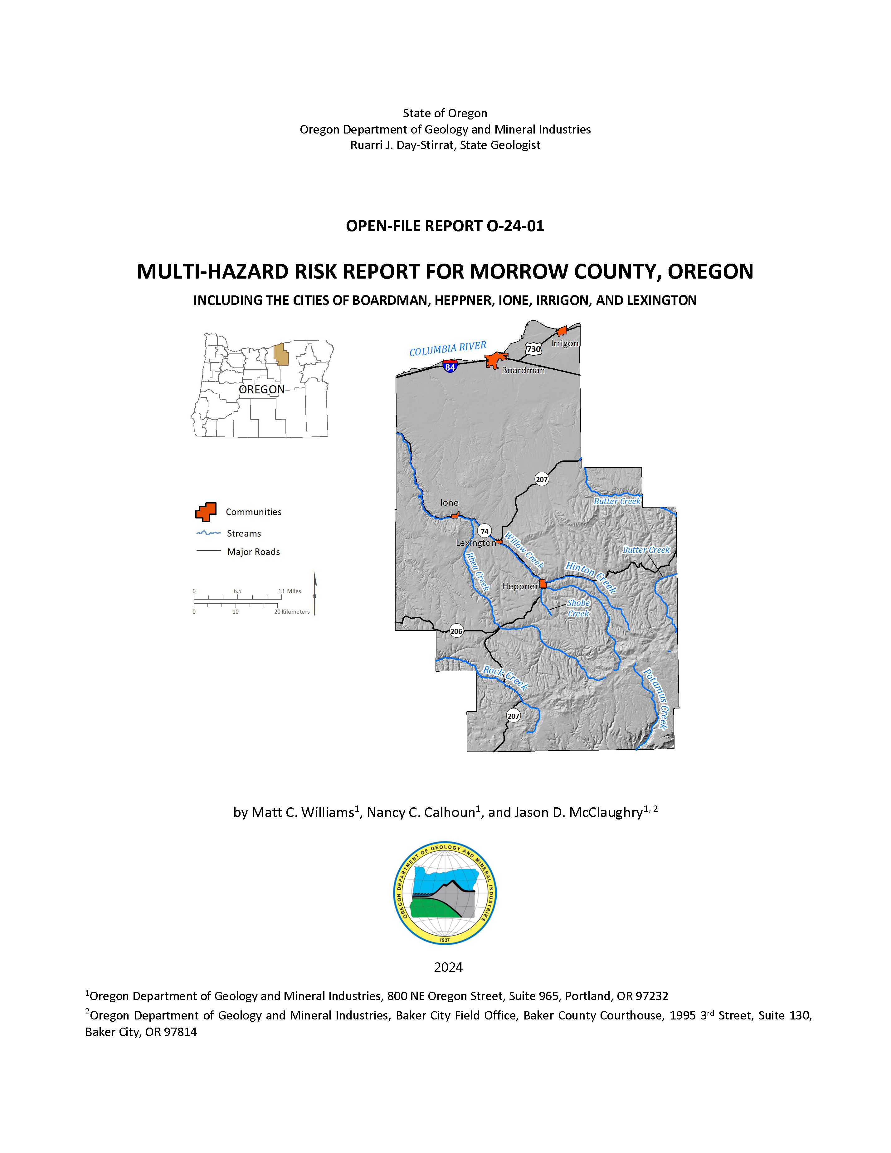
Open-File Report O-24-01, Multi-Hazard Risk Report for Morrow County, Oregon, by Matt C. Williams, Nancy C. Calhoun, and Jason D. McClaughry; 75 p. report, 10 tabloid size map plates, one Esri® geodatabase with internal metadata, external metadata in .xml format.
WHAT’S IN THIS REPORT?
This report describes the methods and results of a natural hazard risk assessment for Morrow County communities. The results quantify the impacts of natural hazards to each community and enhance the decision-making process in planning for disaster.
PUBLICATION DOWNLOADS
EXECUTIVE SUMMARY
This report was prepared for the communities of Morrow County, Oregon, with funding provided by the Federal Emergency Management Agency (FEMA). It describes the methods and results of a natural hazard risk assessment performed in 2022 by the Oregon Department of Geology and Mineral Industries (DOGAMI). The purpose of this project is to provide communities with detailed risk assessment information to enable them to compare hazards and act to reduce their risk. The risk assessment results quantify the impact of natural hazards to this community and enhance the decision-making process in planning for disaster.
We arrived at our findings and conclusions by completing three main tasks: compiling an asset database, identifying and using the best available hazard data, and performing natural hazard risk assessment.
- In the first task, we created a comprehensive asset database for Morrow County by synthesizing assessor data, U.S. Census information, FEMA Hazus®-MH general building stock information, and building footprint data. This work resulted in a single dataset of building points and their associated building characteristics (i.e., construction materials, number of floors, usage, etc). Using these data, we were able to represent accurate spatial locations and vulnerabilities on a building-by-building basis.
- The second task was to identify and use the most current and appropriate hazard datasets for the study area. Most of the hazard datasets used in this report were created by DOGAMI and produced using peer-reviewed methods and with high-resolution, lidar topographic data. Although not all the data sources used in the report provide complete, countywide information, each hazard dataset used was the best available at the time of the analysis. Data sources and coverage are discussed in detail for each hazard in Assessment Overview and Results.
- In the third task, we analyzed risk using Esri® ArcGIS Desktop® software. We took two risk assessment approaches: (1) estimated loss (in dollars) to buildings from floods and earthquakes using the Hazus-MH methodology, and (2) calculated the number of buildings, their value, and associated populations exposed to earthquake, and flood scenarios, or susceptible to varying levels of hazard from landslides, channel migration, and wildfire. Details on recurrence intervals, susceptibility, hazard levels and other particulars are discussed in detail for each hazard in Assessment Overview and Results.
The findings and conclusions of this report show the wide range of potential impacts hazards could have on the communities of Morrow County. A Mw-7.1 earthquake occurring on a nearby crustal fault (Horse Heaven Fault) has the potential to cause moderate damage and losses to areas in the northern portion of Morrow County. We demonstrate the potential for reduction in earthquake damages and losses through seismic retrofits using the building code simulations in the Hazus-MH earthquake model. Flooding is a threat for some communities in the study area (Heppner, Ione, and Lexington) and we quantify the number of elevated structures that are less vulnerable to flood hazard to better understand the level of mitigation needs for these communities. Our analysis shows that areas along Willow Creek and State Highway 74 are at greatest risk from landslide hazards. Approximately 5% of the county’s residential buildings are exposed to channel migration hazard along Willow Creek and Rhea Creek. The wildfire exposure analysis shows a High risk for most of the county, with most of Morrow County’s population and critical facilities at High risk.
The information presented in this report is designed to increase awareness of natural hazard risk, to support public outreach efforts, and to aid local decisionmakers in developing comprehensive plans and natural hazard mitigation plans. This study can help emergency managers identify vulnerable critical facilities and develop contingencies in their response plans. The results of this study are designed to be used to help communities identify and prioritize mitigation actions that will improve community resilience.
Results were broken out for the following geographic areas:
- Unincorporated Morrow County (rural)
- City of Heppner
- City of Irrigon
- City of Boardman
- City of Ione
- City of Lexington
Selected Countywide Results
Total buildings : 8,480
Total estimated building value: $4.3 billion
|
Horse Heaven Fault
Magnitude-7.1 Earthquake Scenario
Red-tagged buildingsa : 103
Yellow-tagged buildingsb : 473
Loss estimate: $216 million
| 100-year Flood Scenario
Number of buildings damaged: 250
Loss estimate: $10 million
|
Landslide Exposure (High and Very High-
Susceptibility
Number of buildings exposed: 551
Exposed building value: $140 million
|
Channel Migration Zone* (Erosion
Hazard Area - 30-year):
Number of buildings exposed: 79
Exposed building value: $14 million
|
Wildfire Exposure (High and Moderate Risk):
Number of buildings exposed: 1,624
Exposed building value: $350 million
|
|
aRed-tagged buildings are considered uninhabitable due to complete damage
bYellow-tagged buildings are considered limited habitability due to extensive damage
|
GEOGRAPHIC INFORMATION SYSTEM (GIS) DATA
Geodatabase is ESRI® version 10.7 format. Metadata are embedded in the geodatabase and are also provided as separate .xml format files.
Each dataset listed below has an associated, standalone .xml file containing metadata in the Federal Geographic Data Committee Content Standard for Digital Geospatial Metadata format.
Morrow_County_Risk_Report_Data.gdb |
Feature dataset: Asset_Data
|
|
Building_Footprints |
polygons | .xml
|
Communities |
polygons
| .xml
|
UDF_points
| points | .xml
|
APPENDIX E: MAP PLATES (PDFs, 17x11 inches each)