DOGAMI OPEN-FILE REPORT SERIES
Publication Preview
Open-File Report O-25-04, Beaches and Dunes of Clatsop County, Oregon: 1975 to 2022, by Jonathan C. Allan and Fletcher E. O'Brien; 48 p. report, two Esri® geodatabases with internal metadata, external metadata in .xml format, two symbology layer files.
WHAT’S IN THIS REPORT?
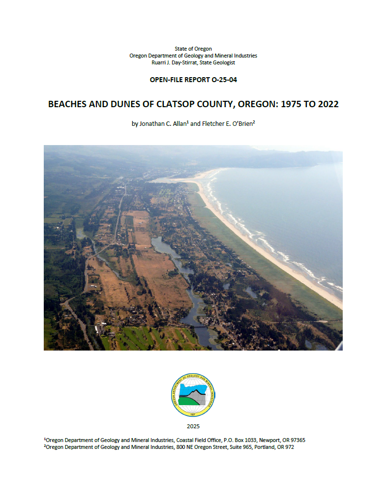
New lidar-based mapping along the Clatsop County coast provides updated spatial extents of beach and dune features exposed to existing and future storm-induced wave erosion, runup, overtopping, and coastal flooding. Side-by-side comparisons between 1975 and the latest mapping of beach and dune feature highlight important spatial changes in coastal geomorphology that have taken place.
PUBLICATION DOWNLOADS
EXECUTIVE SUMMARY
The objective of this study was to produce updated information on the spatial extent of beach and dune geomorphology in Clatsop County, Oregon, that may be subject to existing and future storm-induced wave erosion, runup, overtopping, and coastal flooding. These data are of importance to the Department of Land Conservation and Development (DLCD) and the seven coastal counties of Oregon in order to implement Statewide Planning Goal 18: Beaches and Dunes (Goal 18 (DLCD, 2024)). Goal 18 requires local jurisdictions to adopt a beach and dune overlay zone in their comprehensive plan that may be used to manage development on or near beaches and dunes.
Between 1972 and 1975, the U.S. Department of Agriculture (USDA) Soil Conservation Service conducted regional mapping of Oregon's coastal geomorphology to define the extent of its beaches and dunes (USDA, 1975). However, in the intervening 50 years, much has changed on the coast. Of particular importance has been the proliferation of European and American beach grasses that have helped to stabilize the coastal foredune. In contrast, Clatsop Spit (north of the Peter Iredale shipwreck) is presently experiencing significant erosion that is likely due to long-term changes in the Columbia River sediment beach budget. In addition, new technologies such as light detection and ranging data (lidar) and aerial imagery are now providing unprecedented levels of detail about the elevation and shape of the ground surface, enabling scientists to map the spatial extents of both the contemporary and historical foredune systems more accurately. These factors combined necessitate that the USDA (1975) mapping be updated to reflect contemporary conditions. As a result of the updated mapping, our analyses indicate the following broad-scale changes:
- Areas classified as active foredune (FDA) and recently stabilized foredunes (FD) increased by 1,095% and 54%, respectively, in Clatsop County.
- Recently stabilized dune (DS) and open sand (OS) areas make up a negligible (0.23%) proportion of the Clatsop County geomorphological mapping.
- Areas mapped as inland foredune (IFD) increased significantly (472%) from 700 acres (28 ha) in 1975 to 4,007 acres (1,621 ha) in 2024; most of this change occurred on the Clatsop Plains.
- Interdune areas have also increased in Clatsop County (45%) from 420 acres (170 ha) in 1975 compared with 2,182 acres (883 ha) in 2024; most of this change occurred on the Clatsop Plains.
- Areas mapped as dune complex (DC) decreased by 68% since 1975. Much of this change can be explained by our improved mapping of contemporary and historical foredunes, interdune areas, and the designation of wetland (WL) areas in Clatsop County.