DOGAMI DIGITAL DATA SERIES
Publication Preview
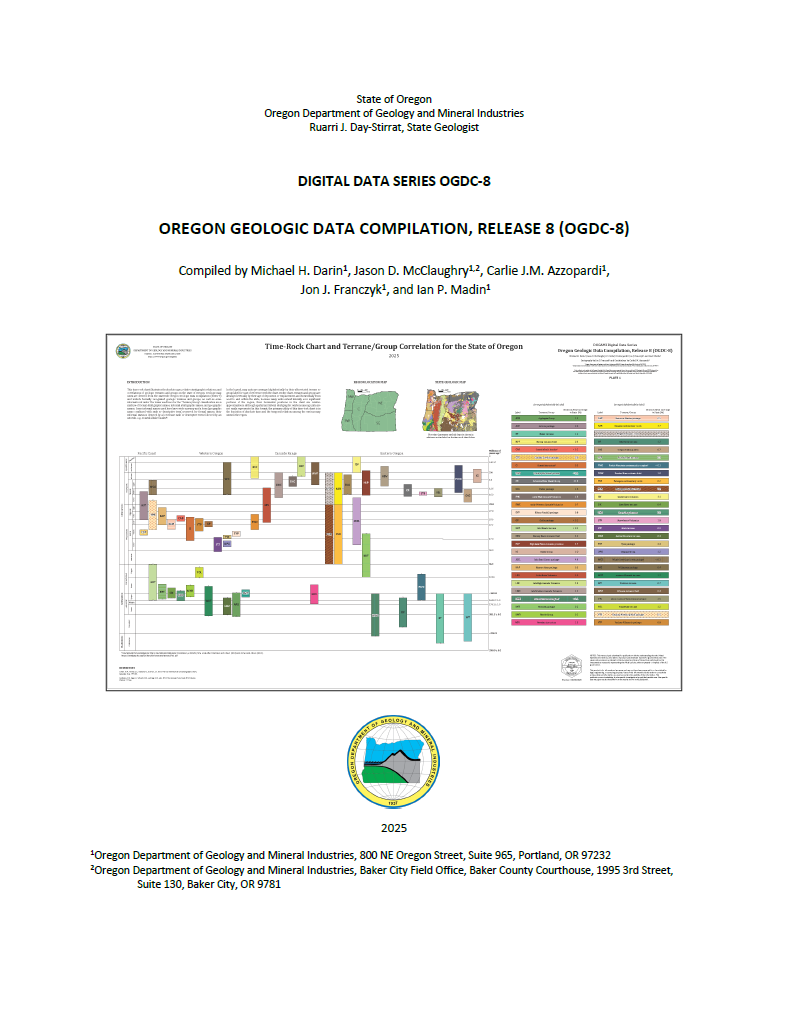
Oregon Geologic Data Compilation, release 8 (OGDC-8), compiled by Michael H. Darin, Jason D. McClaughry, Carlie J.M. Azzopardi, Jon J. Franczyk, and Ian P. Madin
Release 8 supersedes all previous releases of OGDC.
WHAT’S IN THIS PUBLICATION?
The Oregon Geologic Data Compilation, Release 8 (OGDC-8), consists of a single consistent and maintainable geodatabase containing the most up-to-date geologic mapping data for the state. This update includes a recently published geologic map of the greater Portland metropolitan area by Wells and others (2020, USGS SIM-3443) that covers ~5,400 km2 (~2,085 mi2) in Oregon. A series of six accompanying plates includes time-rock charts that show the ages and stratigraphic correlations among the hundreds of geologic map units at the Terrane/Group-level for the entire state and the Formation-level in five distinct regions.
PUBLICATION DOWNLOADS
PROJECT OVERVIEW
The goal of the project described in this report is to add a layer of interpreted attributes to the Oregon Geologic Data Compilation (OGDC) to make the compilation more useful for regional and statewide geologic analysis. We assign each unit in OGDC to a new set of map unit names, or “Compilation Units,” to make it easier to generate seamless maps. We also provide graphic time-rock charts that illustrate how these newly assigned Compilation Units correlate in time and space across the state.
DISCLAIMER
This product is for informational purposes and may not have been prepared for or be suitable for legal, engineering, or surveying purposes. Users of this information should review or consult the primary data and information sources to ascertain the usability of the information. This publication cannot substitute for site-specific investigations by qualified practitioners. Site-specific data may give results that differ from the results shown in the publication.
GEOGRAPHIC INFORMATION SYSTEM (GIS) DATA
Geodatabase is Esri® version 10.7 format.
Metadata is embedded in the geodatabase and is also provided as separate .xml files.
|
OGDC8.gdb |
|
Feature dataset: GeologicMap |
|
Feature classes |
CartographicLines
|
.xml
|
ContactsAndFaults
|
.xml
|
DataSourcePolys
|
.xml
|
GeochemPoints
|
.xml
|
GeochronPoints
|
.xml
|
GeologicLines
|
.xml
|
MapUnitPolys
|
.xml
|
| OrientationPoints |
.xml
|
|
Tabular data |
| DataSources |
.xml
|
| DescriptionOfMapUnits |
.xml
|
| GeoMaterialDict |
.xml
|
Glossary
|
.xml
|
MAP PLATES (PDF Format)