DOGAMI OPEN-FILE REPORT SERIES
Publication Preview
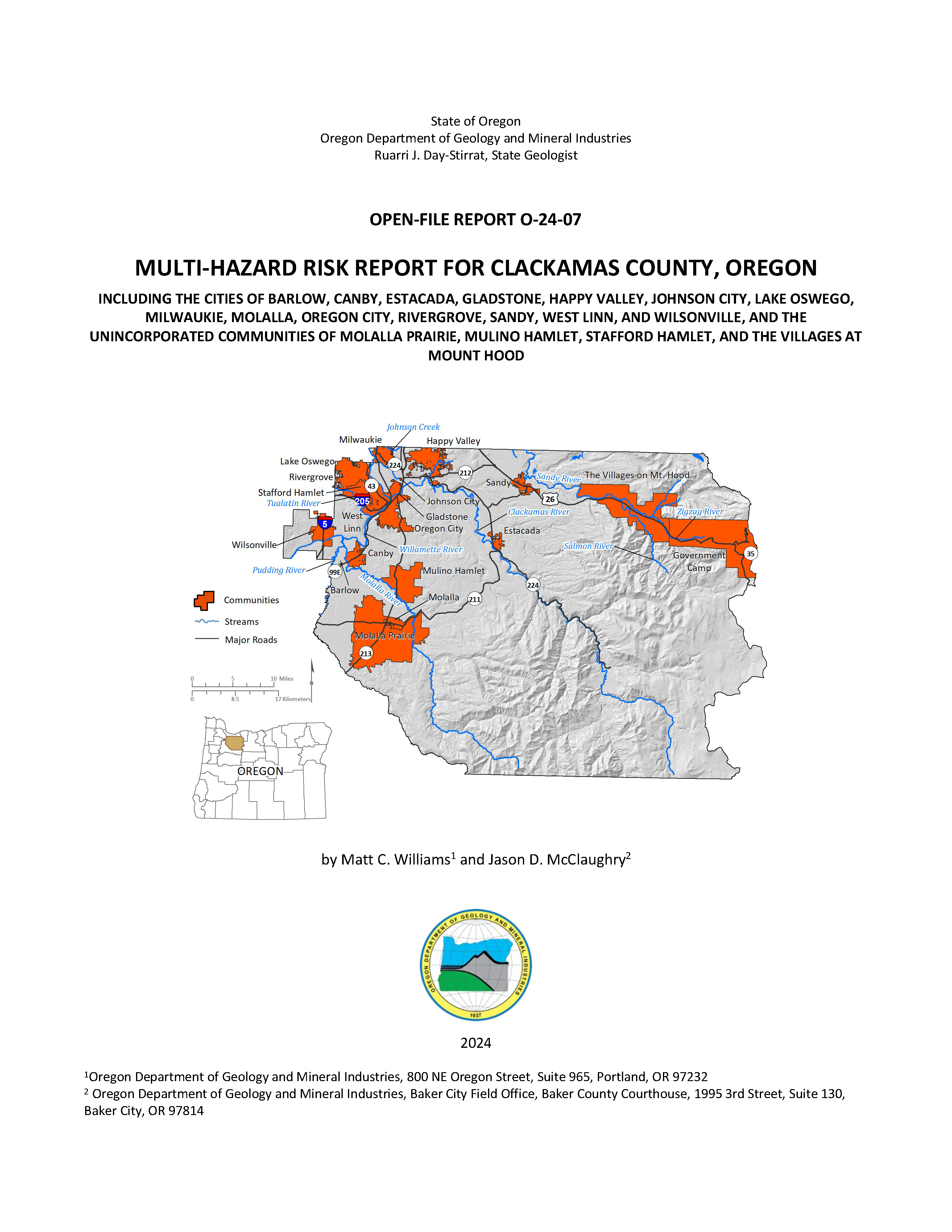
Open-File Report O-24-07, Multi-Hazard Risk Report for Clackamas County, Oregon, by Matt C. Williams and Jason D. McClaughry; 114 p. report, 11 tabloid size map plates, two Esri® geodatabases with internal metadata, external metadata in .xml format.
WHAT’S IN THIS REPORT?
This report describes the methods and results of a natural hazard risk assessment for communities in Clackamas County.
The results quantify the impacts of natural hazards to each community and enhance the decision-making process in planning for disaster.
PUBLICATION DOWNLOADS
EXECUTIVE SUMMARY
This report was prepared for communities in Clackamas County, Oregon, with funding provided by the University of Oregon’s, Oregon Partnership for Disaster Resilience (OPDR). It describes the methods and results of a natural hazard risk assessment performed in 2023 by the Oregon Department of Geology and Mineral Industries (DOGAMI) within Clackamas County (herein referred to as the study area). The purpose of this project is to provide communities with a detailed assessment of the risks to people and the built environment that result from the natural hazards present in their community. This will enable them to better understand and compare hazards and act to reduce their risk. The risk assessment results quantify the consequences of natural hazards to each community and support the decision-making process in planning for disaster.
We arrived at our results and conclusions by completing three main tasks: compiling an asset database, identifying and using the best available hazard data, and performing a natural hazard risk assessment.
- In the first task, we created a comprehensive asset database for Clackamas County by synthesizing assessor data, Federal Emergency Management Agency (FEMA) Hazus®-MH general building stock information, and building footprint data. This work resulted in a single dataset of building points and their associated building characteristics (e.g., construction materials, number of floors, usage, etc.). Using these data, we were able to represent accurate spatial locations and vulnerabilities on a building-by-building basis.
- The second task was to identify and use the most current and appropriate hazard datasets for the study area. Most of the hazard datasets used in this report were created by DOGAMI and produced using peer-reviewed methods and with high-resolution, lidar topographic data. Although not all the data sources used in the report provide complete, countywide information, each hazard dataset used was the best available at the time of the analysis. Data sources and coverage are discussed in detail for each hazard in Assessment Overview and Results.
- In the third task, we analyzed risk using Esri® ArcGIS Desktop® software. We took two risk assessment approaches: (1) estimated loss (in dollars) to buildings from floods and earthquakes using the Hazus-MH methodology, and (2) calculated the number of buildings, their value, and associated populations exposed to earthquake, and flood scenarios, or susceptible to varying levels of hazard from landslides, channel migration, and wildfire. Details on recurrence intervals, susceptibility, hazard levels and other particulars are discussed in detail for each hazard in Assessment Overview and Results.
The findings and conclusions of this report show the wide range of potential impacts hazards could have on the communities of Clackamas County. A Mw 9.0 Cascadia Subduction Zone (CSZ) earthquake is expected to cause moderate to significant damage and losses throughout the county, with many of the critical facilities at High risk. A modeled Mw 6.8 earthquake on the Canby-Molalla Fault is expected to cause significant localized damages in the heavily populated areas in northwestern Clackamas County. We exhibit the potential for reduction in losses through simulating seismic retrofits of buildings using the Hazus-MH earthquake model. Roughly 40% to 60% of critical facilities are at risk from being nonfunctioning due to a CSZ or Canby-Molalla Fault earthquake. Flooding is identified as a very high-risk hazard for some communities in the county (e.g., Oregon City, Rivergrove, West Linn, and Mulino Hamlet) and we quantify the number of elevated structures in each community because they are more resilient to flood hazard. Our analysis shows that areas with moderate to steep slopes or at the base of steep slopes are at the greatest risk from landslide hazards, which are present in several communities (e.g., West Linn, Estacada, Oregon City, and the Villages at Mount Hood) and in rural parts of the county. More than 1,100 buildings along the Sandy River in the Village at Mount Hood were exposed to channel migration hazard. This is roughly 30% of the total community building stock. Wildfire exposure analysis shows a higher risk for buildings within the wildland-urban interface (WUI) and in the heavily forested areas in the eastern part of the county. More than 7% of the residents of Clackamas County are at risk from being displaced from either landslide or wildfire hazards. Volcanic lahar hazard could affect many buildings along the Sandy River in the Villages at Mount Hood. More than 70% of buildings in the Villages at Mount Hood are exposed to the Large lahar scenario.
The information presented in this report is designed to increase awareness of natural hazard risk, to support public outreach efforts, and to aid local decisionmakers in developing comprehensive plans and natural hazard mitigation plans. This study can help emergency managers identify vulnerable critical facilities and develop contingencies in their response plans. The results of this study are designed to be used to help communities identify and prioritize mitigation actions that will improve community resilience.
Results were broken out for the following geographic areas:
- Unincorporated Clackamas County (rural)
- City of Barlow
- City of Canby
- City of Estacada
- City of Gladstone
- City of Happy Valley
- City of Johnson City
- City of Lake Oswego*
- City of Milwaukie
- City of Molalla
- City of Oregon City
- City of Rivergrove*
- City of Sandy
- City of West Linn
- City of Wilsonville*
- Community of Government Camp
- Community of Molalla Prairie
- Community of Mulino Hamlet
- Community of Stafford Hamlet
- Community of the Villages at Mt. Hood
*The portions of these cities that extend into adjacent counties are included in this report.
Selected Countywide Results
Total buildings : 184,914
Total estimated building value: $79 billion
|
Cascadia Subduction Zone
Magnitude-9.0 Earthquake Scenario
Red-tagged buildingsa : 5,126
Yellow-tagged buildingsb : 10,368
Loss estimate: $4.2 billion
|
Canby-Molalla Fault
Magnitude 6.8 Earthquake Scenario Red-tagged buildingsa : 6,392
Yellow-tagged buildingsb : 14,917
Loss estimate: $9.3 billion
|
100-year Flood Scenario
Number of buildings damaged: 1,452
Loss estimate: $222 million
|
Landslide Exposure (High and Very High-
Susceptibility)
Number of buildings exposed: 11,418
Exposed building value: $4.8 billion |
|
Channel Migration Zone* (High Risk)
Number of buildings exposed: 1,216
Exposed building value: $420 million |
Wildfire Exposure (High and Moderate Risk):
Number of buildings exposed: 15,461
Exposed building value: $4.8 billion |
Volcanic Lahar Hazard** (100-year Scenario)
Number of buildings exposed: 667
Exposed Building Value: $220 million
| |
aRed-tagged buildings are considered uninhabitable due to complete damage
bYellow-tagged buildings are considered to-be of limited habitability due to extensive damage
*Results are limited to the study area of English and others (2013) and Abbe and others (2015), which covers the Sandy River.
**Results are limited to the study area of Burns and others (2011), which covers the Sandy River watershed.
|
GEOGRAPHIC INFORMATION SYSTEM (GIS) DATA
Geodatabase is ESRI® version 10.7 format. Metadata are embedded in the geodatabase and are also provided as separate .xml format files.
Clackamas_County_Risk_Report_Data.gdb |
Asset_Data
|
|
Building_footprints |
polygons |
.xml
|
Communities |
polygons
|
.xml
|
UDF_points
|
points |
.xml
|
|
Clackamas_County_Depth_Grids.gdb |
FL_Depth_10
|
GRID |
.xml
|
|
FL_Depth_50 |
GRID
|
.xml
|
FL_Depth_100
| GRID
| .xml
|
FL_Depth_500
| GRID
| .xml
|
APPENDIX E: MAP PLATES (PDFs, 17x11 inches each)