DOGAMI OPEN-FILE REPORT SERIES
Publication Preview
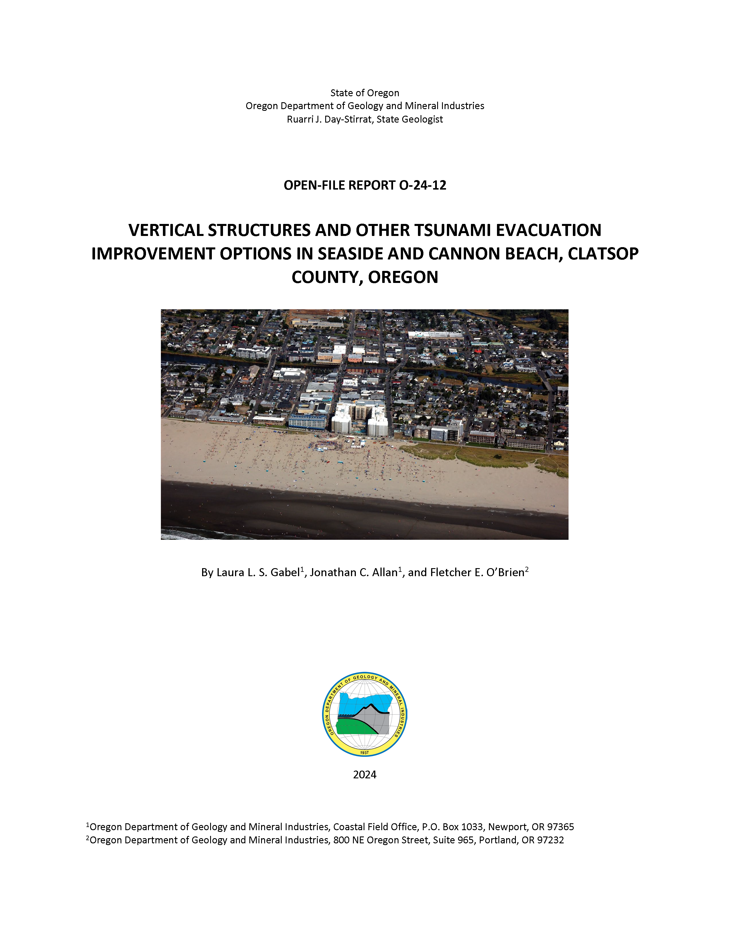
Open-File Report O-24-12, Vertical Structures and Other Tsunami Evacuation Improvement Options in Seaside and Cannon Beach, Clatsop County, Oregon, by Laura L. S. Gabel, Jonathan C. Allan, and Fletcher E. O'Brien; 82 p. report.
WHAT’S IN THIS REPORT?
This report describes the methods and results of pedestrian tsunami evacuation modeling of present-day routes and possible mitigation measures for Seaside and Cannon Beach, Clatsop County. This information can help communities plan and prepare for the next Cascadia Subduction Zone earthquake and tsunami.
PUBLICATION DOWNLOADS
EXECUTIVE SUMMARY
This project is about helping communities evaluate ways to move people out of the tsunami zone in the shortest amount of time possible between the start of earthquake shaking and the arrival of the tsunami. During 2023 and 2024, the Oregon Department of Geology and Mineral Industries (DOGAMI) evaluated pedestrian evacuation routes for a local tsunami generated by an earthquake on the Cascadia Subduction Zone (CSZ) in Seaside and Cannon Beach, Clatsop County, Oregon. To assist communities in identifying and prioritizing mitigation projects, we produced the following maps and tables:
- Pedestrian evacuation speed maps and survivor estimates for present-day evacuation routes
- Pedestrian evacuation speed maps and survivor estimates for hypothetical mitigation scenarios, including one or more vertical evacuation structures (VES) and seismic bridge retrofits
- Tsunami wave arrival maps
- Permanent- and temporary-resident population distributions within the tsunami zone
Beat the Wave tsunami pedestrian evacuation analyses calculate minimum speeds required to stay ahead of the tsunami for each scenario, which include present-day conditions as well as hypothetical improvements such as the inclusion of one or more VES and bridge retrofits. Beat the Wave uses least-cost distance (LCD) modeling combined with knowledge of route characteristics (e.g., flat versus steep terrain) and wave arrival times. Evacuation paths were limited to established roads, trails, and pedestrian pathways designated by local government reviewers as the most likely routes. The model also includes a 10-minute delay from the start of an earthquake before beginning evacuation to account for the time in which earthquake shaking takes place (3 minutes–5 minutes), disorientation, shock, and collecting family members and go bags, and the time required to evacuate buildings and reach the nearest road (navigating fallen debris, exiting building, crossing a fenced yard, etc.).
Survivability is defined as being able to leave a tsunami-hazard zone before wave arrival and is determined through the selection of a maximum speed, using the assumption that faster speeds may not be realistic for some people, especially given roadway conditions (e.g., debris on road, downed power lines, and broken asphalt). We chose 4 feet per second (fps) (2.7 mph) to represent a realistic maximum speed that vulnerable populations such as impaired adults and the elderly can maintain for the entirety of their route. It is worth noting that while results are heavily dependent on the speed threshold chosen, the power of this analysis lies in the relative difference between scenarios. It should also be noted that evacuation modeling results assume clear roads and do not reflect the influence of road debris or other impediments that are potentially generated by the preceding earthquake.
Results in Seaside demonstrate that a significant portion of the city cannot reach natural high ground given the present-day road and bridge network. Evacuation routes are as long as ~1.5 mi and require travel speeds of up to 10 fps (6.8 mph) to successfully evacuate before wave arrival. We estimate 25% of permanent and temporary residents (~4,200 people) within the tsunami zone will survive. A hypothetical scenario simulating a seismic retrofit of every bridge in Seaside yields a 1% increase in survival, a stark demonstration of the ineffectiveness of this mitigation solution. Alternatively, a single VES placed at the Convention Center parking lot results in the hypothetical survival of 50% of the total population in the modeled tsunami-hazard zone (~8,500 people). Our population model does not incorporate day visitors, which can increase the number of temporary residents in Seaside by as much as 9,000 people–16,000 people and in Cannon Beach by as much as ~6,000 people. A large majority of these people will be near the ocean beaches and dense downtown areas, placing them at the highest risk from tsunamis. Scenarios incorporating a second, third, and fourth VES further increase life safety to 66%, 74%, and 85% of the total population, respectively.
We estimate 90% of the total population in Cannon Beach will survive due to the prevalence of high ground adjacent to most neighborhoods. One exception to this encouraging result is the downtown district, which is cut off from its nearest high ground by Ecola Creek. The creek and its broad marshy banks can only be crossed via the Fir Street Bridge, which is not expected to survive earthquake shaking. Instead, people in this heavily trafficked area must travel up to 1 mi south to alternative high ground at travel speeds of up to 8 fps (5.5 mph). We estimate 2% of the total downtown population will survive. A hypothetical seismic retrofit of the Fir Street Bridge saves the lives of 77% of the downtown population and brings the citywide survivability estimate to 97%. Four VES scenarios were modeled; three downtown sites and city hall, farther to the south. Two of the three downtown locations are estimated to save 100% of the residents. The third downtown location saves 82% of residents, with the reduction due to its position close to the highest density of residents as well as its placement within the Ecola Creek floodplain. The city hall location does not improve life safety over current conditions.
In both communities, tsunami evacuation modeling is designed to aid in community planning, raise awareness of tsunami hazards and preparedness, and to support emergency management and land use planners to make informed life-safety decisions. These results may be used to identify, prioritize, and justify funding for infrastructure mitigation projects such as VES and seismic bridge retrofits or rebuilds. Maps and estimated survivor count for current conditions and hypothetical mitigation scenarios are intended to provide an overview of evacuation challenges facing a community; they do not replace site-specific analyses and are not intended to be interpreted as a literal expectation of how a tsunami evacuation will unfold.