DOGAMI OPEN-FILE REPORT SERIES
Publication Preview
Open-File Report O-24-13, Beaches and Dunes of Coos County, Oregon: 1975 to 2022, by Jonathan C. Allan, Fletcher O'Brien, and Laura Gabel; 37 p. report, two Esri® geodatabase with internal metadata, external metadata in .xml format, symbology layer files.
WHAT’S IN THIS REPORT?
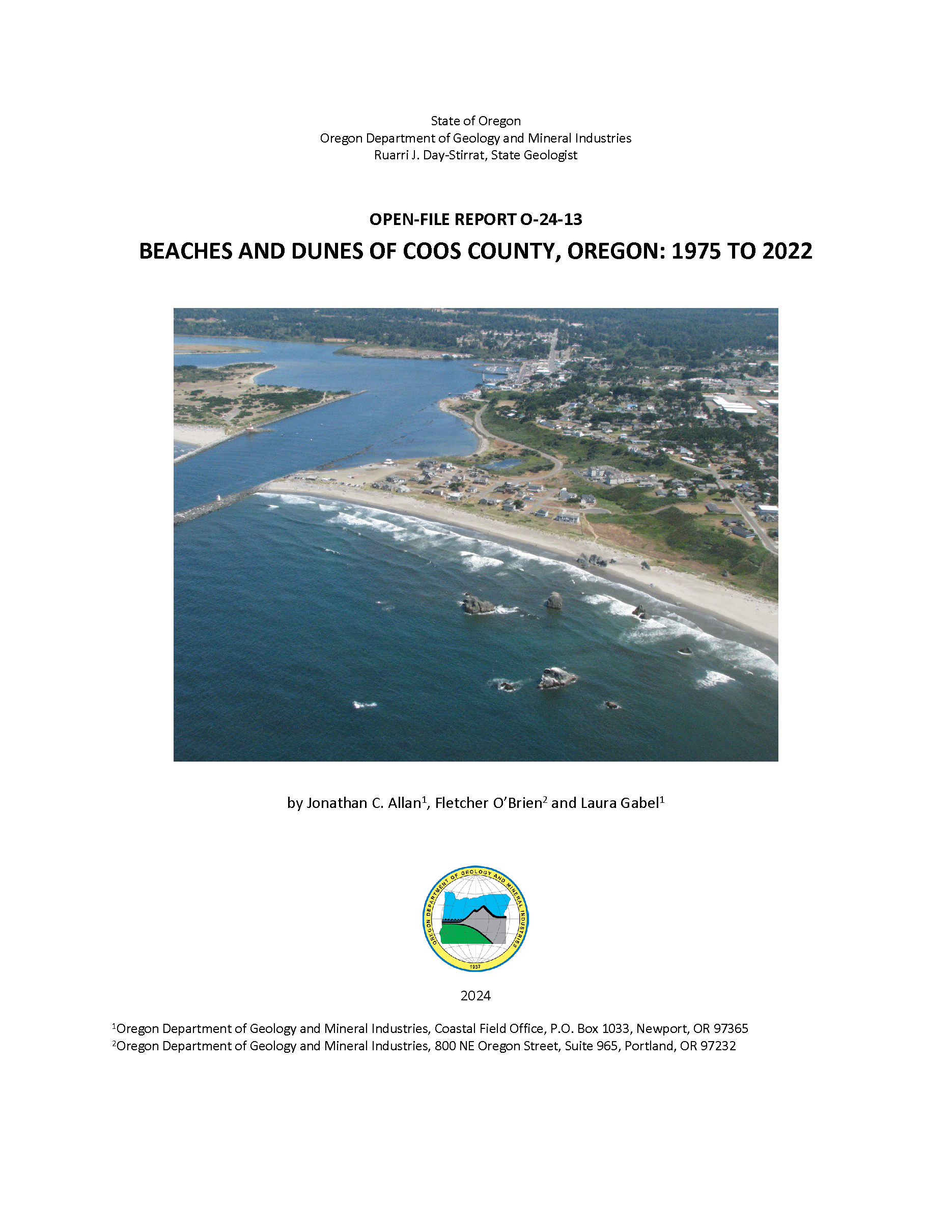
New lidar based mapping along the Coos County coast provides updated spatial extents of beach and dune features exposed to existing and future storm-induced wave erosion, runup, overtopping, and coastal flooding. Side-by-side comparisons between 1975 and the latest mapping of beach and dune features highlight important spatial changes in coastal geomorphology that have taken place.
PUBLICATION DOWNLOADS
EXECUTIVE SUMMARY
The objective of this study was to produce updated information on the spatial extent of beach and dune geomorphology in Coos County, Oregon that may be subject to existing and future storm-induced wave erosion, runup, overtopping, and coastal flooding. These data are of importance to the Department of Land Conservation and Development and the seven coastal counties of Oregon in order to implement Statewide Planning Goal 18: Beaches and Dunes (Goal 18 (DLCD, 2024)). Goal 18 requires local jurisdictions to adopt a beach and dune overlay zone in their comprehensive plan, which may be used to manage development on or near beaches and dunes.
Between 1972 and 1975, the U.S. Department of Agriculture (USDA) Soil Conservation Service conducted regional mapping of Oregon's coastal geomorphology to define the extent of its beaches and dunes (USDA, 1975). However, in the intervening 45 years, much has changed on the coast. Of particular importance has been the proliferation of European beach grasses that have stabilized many coastal dune systems, and the growth and northward extension of the New River Spit. Other areas, including Bastendorff Beach and the North Coos Spit have experienced significant erosion since the late 1970s. In addition, new technologies such as light detection and ranging data (lidar) and aerial imagery are now providing unprecedented levels of detail about the elevation and shape of the ground surface, enabling scientists to map the spatial extents of both the contemporary and historical foredune systems more accurately as well as much older inland dunes (IDN). These three factors combined necessitate that the USDA (1975) mapping be updated to reflect contemporary conditions. As a result of the updated mapping, our analyses indicate the following broad-scale changes:
- Overall, areas defined as open sand (OS) have decreased by about 52% since the 1970s, from 9,512 acres to 4,973 acres (3,849 ha to 2,013 ha).
- Accompanying the decrease in OS areas has been an increase in areas classified as younger stabilized dunes (DS). Most of this change can be directly attributed to anthropogenic effects, particularly the introduction of European beach grass (Ammophila arenaria) as well as stabilization from shore pine (Pinus contorta) and other native plant species.
- Areas subject to existing coastal hazards, which include active foredunes (FDA) and reactivated foredunes (FDR) were found to have increased their spatial extent by 482%; the largest change within this category occurred in the Coos littoral cell (i.e., beaches north of Cape Arago).
- Areas classified as recently stabilized foredune (FD) have seen a marked (~40%) decrease in spatial coverage, decreasing from 627 acres (254 ha) in the 1970s to ~254 acres (103 ha) in 2024.