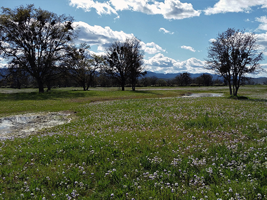
Wetlands, rivers, lakes, streams, and other types of waters across Oregon are protected by state and federal law so these resources can continue to provide important environmental and societal benefits.
Projects that add, remove, or move material in wetlands or waters (including those on private land) may require a
delineation report to identify resource boundaries. If the project cannot avoid wetlands and waters then a
removal-fill permit may be required to document and mitigate any potential resource impacts.
Viewing an inventory is the start of a process to determine whether wetlands or waters may be present on a planned project site.
Using the Inventories and Maps
For more detailed instructions, see the how to use the SWI and next steps guide.
- Start by looking at the
Statewide Wetlands Inventory (SWI) web map. Zoom in to the site location or enter the address in the search bar. The map may show:
- The site is within a Local Wetlands Inventory (LWI) study area. Find the map of your area in
LWI list below.
- The site is outside an LWI and wetlands, waters, or soils are mapped. Waters may also be mapped as essential salmonid habitat or a State Scenic Waterway.
- If the SWI or LWI maps indicate there may be wetlands or waters, or soils that suggest the presence of wetlands or waters, DSL can provide a
free preliminary determination, as capacity allows, of whether these resources may be present on your site and if a removal-fill permit may be needed.
- If DSL staff determine wetlands or waters may be present, you will need to work with a professional consultant to
delineate the boundaries of these resources.
Statewide Wetlands Inventory Map
DSL maintains a Statewide Wetlands Inventory web map that displays the approximate locations of wetlands and waters throughout Oregon. The map also shows areas where soil is likely to be wetter longer, indicating there may be unmapped wetlands present. Site determinations and delineations are part of the SWI but are not available digitally.
**August 31, 2026 Update: New map launched! The 2026 update brings a new look, improved tools, refreshed data layers, and newly added wetlands inventories. Read more about the updates here, and click the link below to explore the new map.**
View the Statewide Wetlands Inventory Map
Disclaimer: While the map helps provide guidance about where wetlands or waters may be located, it is for informational and planning purposes only. The map does not serve as the delineation that is required for state removal-fill permits, nor does it serve as a determination. The boundaries of the identified wetlands and waters are only approximate.
There may be unmapped wetlands and other waters present that are subject to regulation. The map represents conditions that existed when the mapping for the area was last updated, and may be subject to change.
Always work with DSL or a professional to identify if wetlands or waters are present.
Local Wetlands Inventories
Professional consultants and local governments have created inventories of wetlands and waters in various areas throughout Oregon. These inventories identify approximate locations of wetlands and waters. There may be unmapped wetlands or waters in these areas that are still regulated. More information about Local Wetland Inventories can be found in the
SWI Map Layer Descriptions and Limitations document.
Disclaimer: Information shown on this map is for planning purposes, represents the conditions that exist at the map date, and is subject to change. The location and extent of wetlands and other waters is approximate. There may be unmapped wetlands and other waters present that are subject to regulation. A current Oregon Department of State Lands-approved wetland delineation is required for state removal-fill permits. You are advised to contact the Department and the U.S. Army Corps of Engineers with any regulatory questions.
Inventory Resources for consultants developing LWIs:
Approved Local Wetlands Inventories
Other Inventory
Pending or Incomplete Inventories