About
Thank you to everyone who participated, the Oregon Coast Bike Route Plan was adopted in 2022. 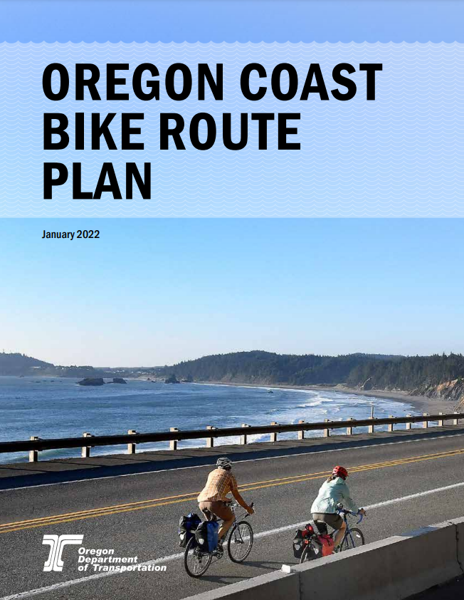
In 2018 we kicked off a planning effort for the Oregon Coast Bike Route (OCBR). With the changes in bicycle infrastructure standards, and the growth of bike tourism destinations and travel options both nationally and along U.S. 101, this was a much needed effort.
Designated in the 1980s, the OCBR is a popular bike route running the length of the Oregon coast (U.S. 101) for approximately 370 miles. It is estimated that between 6,000 and 10,000 people ride the OCBR annually.
This planning process:
Identified needs to support bicycle travel, connectivity and safety.
Evaluated the routes most critical needs and where it leaves U.S. 101.
Defined projects and supportive program investments.
Determined how we and the local governments may make investments in the route.
We worked with other state agencies and organizations such as the Oregon Parks and Recreation Department (OPRD) and Travel Oregon. We worked with the OPRD and its Oregon Coast Trail effort, and where the two efforts may overlap or complement each other.
Schedule
Project started in 2018. Plan was finalized and adopted on May 20, 2022.
Location
U.S. 101
|
The route between Astoria and the California border
Cost and Funding
N/A
Related Links
Access for pedestrians, including those with disabilities, will be available and identified through or around work zones.