Post-Fire Debris Flow Project
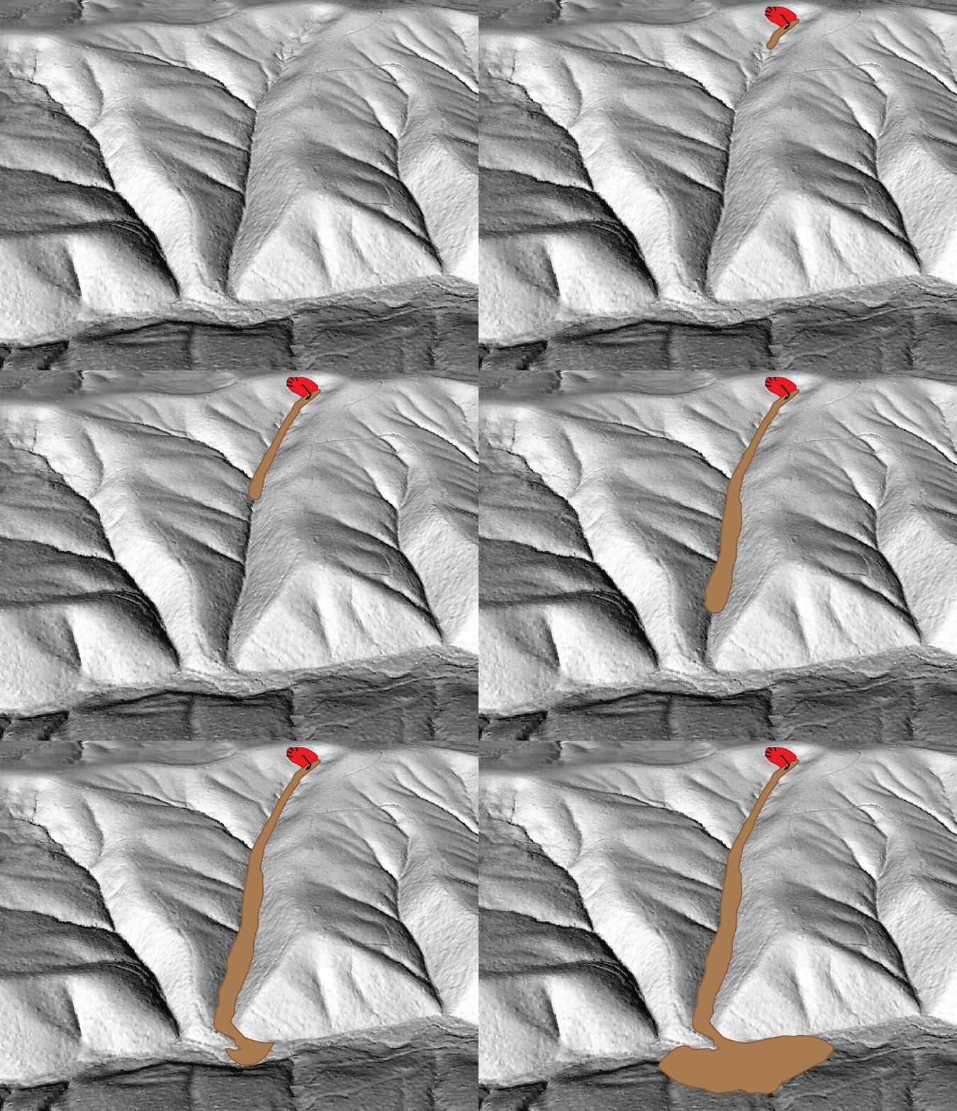 Do wildfires change the frequency and/or intensity of landslides in Oregon? If so, how are Oregon communities affected? DOGAMI has received funding from the Federal Emergency Management Agency Cooperating Technical Partners program to research the impact of wildfires on landslides in Oregon.
Wildfires can significantly alter the way water and sediment move through a watershed during and after rainfall events. Even modest rainstorms can produce dangerous flash floods and debris flows in previously burned areas. Channelized debris flows (CDF) are rapidly moving, extremely destructive landslides that can easily travel a mile or more, depending on the terrain. CDFs typically contain boulders and logs transported in a fast-moving soil and water slurry down canyons. In many parts of Oregon, many locations are already prone to CDFs and when wildfires occur in these areas, they can increase their size and/or frequency.
In the months following the 2020 Labor Day wildfires, the Federal Emergency Management Agency (FEMA) Erosion Threat Assessment/Reduction Team (ETARTS) recognized the risk posed by CDFs in Oregon. To learn more about the potential impact of wildfires on CDFs, DOGAMI proposed four Post-Fire Debris Flow (PFDF) projects to the FEMA Cooperating Technical Partners (CTP) program. The four projects were approved and funded. Project work started in January 2022 and will be completed by Fall 2024.
To learn more about debris flows, a dangerous type of fast-moving, destructive landslide, click here.
To learn more about the risk of debris flows in the areas impacted by the Eagle Creek, Beachie Creek-Lionshead, Archie Creek, and Holiday Farm fires, explore the relevant DOGAMI publication and or view the associated interactive web map.
PFDF Kickoff Meeting Presentation
On March 31, 2022, DOGAMI presented information to stakeholders about the newly funded project. View a video of the presentation here.
PFDF Project Questions
For questions about the Post-Fire Debris Flow project, please contact Bill Burns at
bill.burns@dogami.oregon.gov
Project Areas
The Post-Fire Debris Flow project will study four different areas of Oregon that have recently experienced wildfires.
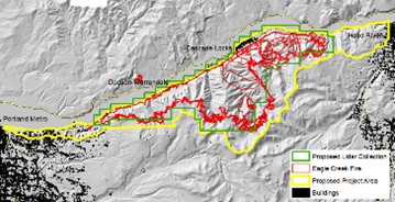
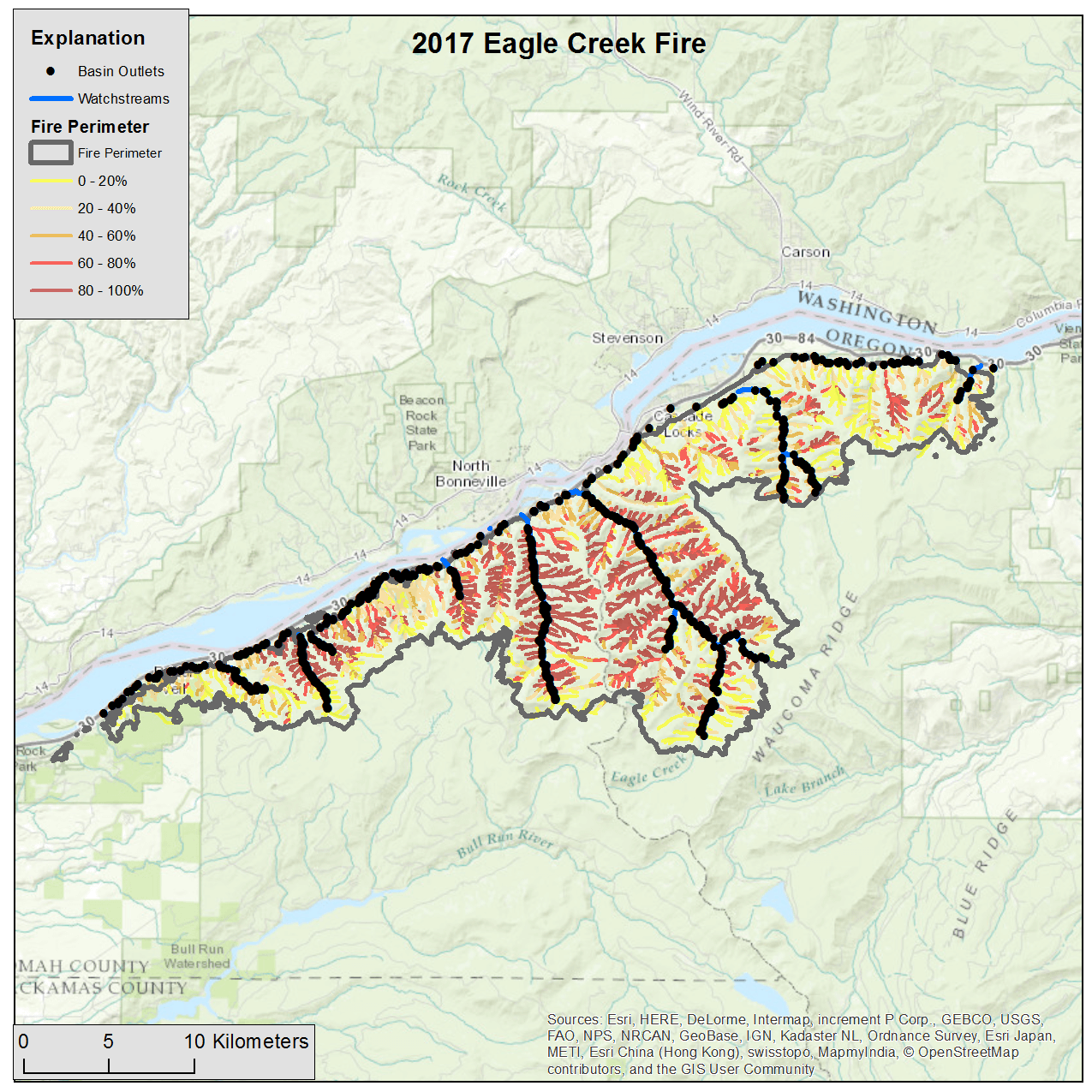
Eagle Creek Fire (2017) - Columbia River Gorge
- Multnomah and Hood River Counties
|
|
Project Documents
|
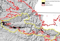
Beachie Creek and Lionshead Fires (2020) - North Santiam River
- Marion and Linn Counties
|
|
Project Documents
|
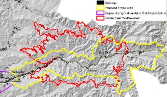
Holiday Farm Fire (2020) - McKenzie River
- Lane County
|
|
Project Documents
|
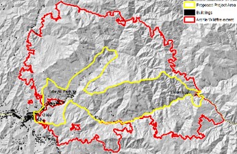
Archie Creek Fire (2020) - North Umpqua River
- Douglas County
|
|
Project Documents
|
Roadmap to Risk Reduction - Meeting Recordings
|
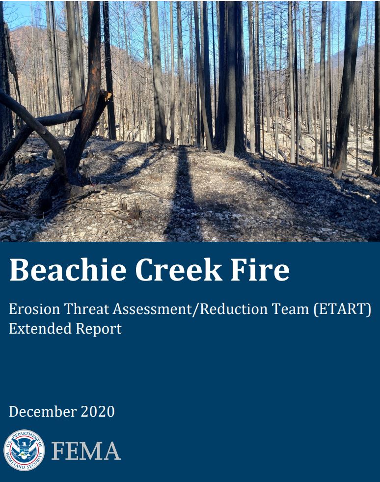
Federal Emergency Management Agency Erosion Threat Assessment/ Reduction Team (ETART) Reports
United States Geological Survey (USGS) Emergency Assessment of Post-Fire Debris Flow Hazards
The USGS conducts rapid post-fire debris flow hazard assessments for select fires in the Western United States shortly after they occur. The USGS uses geospatial data related to shape of the basin, burn severity, soil properties, and rainfall characteristics to estimate the probability and volume of debris flows that may occur in response to storm events. However, these assessments are general in nature and not calibrated to the unique combination of geography and weather conditions that exist in western Oregon. The PFDF project will build on the USGS Emergency Assessments by providing more detailed information specific to the conditions in western Oregon. USGS Emergency Assessments for the PFDF study areas are available below.
Fire Specific Reports