DOGAMI OPEN-FILE REPORT SERIES
Publication Preview
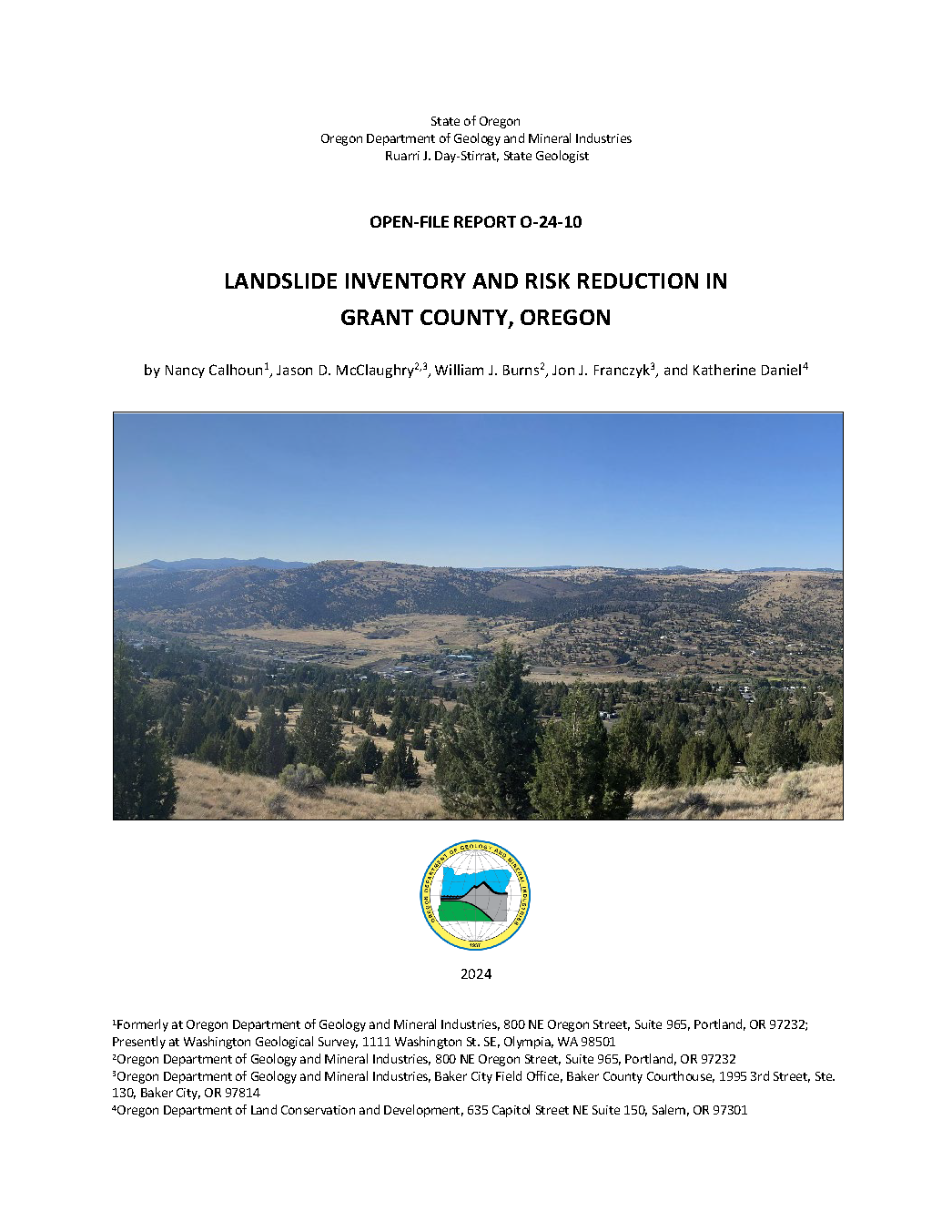
Open-File Report O-24-10, Landslide Inventory and Risk Reduction in Grant County, Oregon, by Nancy C. Calhoun, Jason D. McClaughry, William J. Burns, Jon J. Franczyk, and Katherine Daniel; 36 p. report, four map plates, one Esri® geodatabase with internal metadata, external metadata in .xml format.
WHAT’S IN THIS REPORT?
Landslides are one of the most widespread and damaging natural hazards in Oregon. To continue reducing damage and losses from landslides, areas of landslide hazard must first be accurately located. We mapped 1,507 landslide deposits within three Grant County study regions: 398 deep-seated landslides, 718 debris flows, 259 rock falls, and the rest shallow landslides or unclassified. Risk reduction discussions identified actions that can be taken in the areas of public awareness, planning and zoning, and emergency response. State, local government, and public participants in these discussions identified preferred pathways for risk reduction strategies most appropriate for Grant County.
STUDY AREA
Figure 2 1. Map of Grant and neighboring counties in northeastern Oregon showing individual study areas identified as Region 1, Region 2, and Region 3 (outlined in red).
GEOGRPHIC INFORMATION SYSTEM (GIS) DATA
Geodatabase is Esri® version 10.1 format.
Metadata is embedded in the geodatabases and is also provided as separate .xml formatted files.
Each dataset listed below has an associated, standalone .xml file containing metadata in the Federal Geographic Data Committee Content Standard for Digital Geospatial Metadata format.
Grant_Landlisde_Inventory.gdb
|
|
Feature Classes: |
Deposits
| |
.xml
|
Scarp_Flanks
| Polygons
|
.xml
|
Scarps
| Polylines
|
.xml
|
Study Area
| Polygon
|
.xml
|
MAP PLATES (PDF Format)
Plate 1: Landslide Inventory Map for Study Region 1, including the cities of Mount Vernon, John Day, and Canyon City, Grant County, Oregon (9.6 MB PDF)
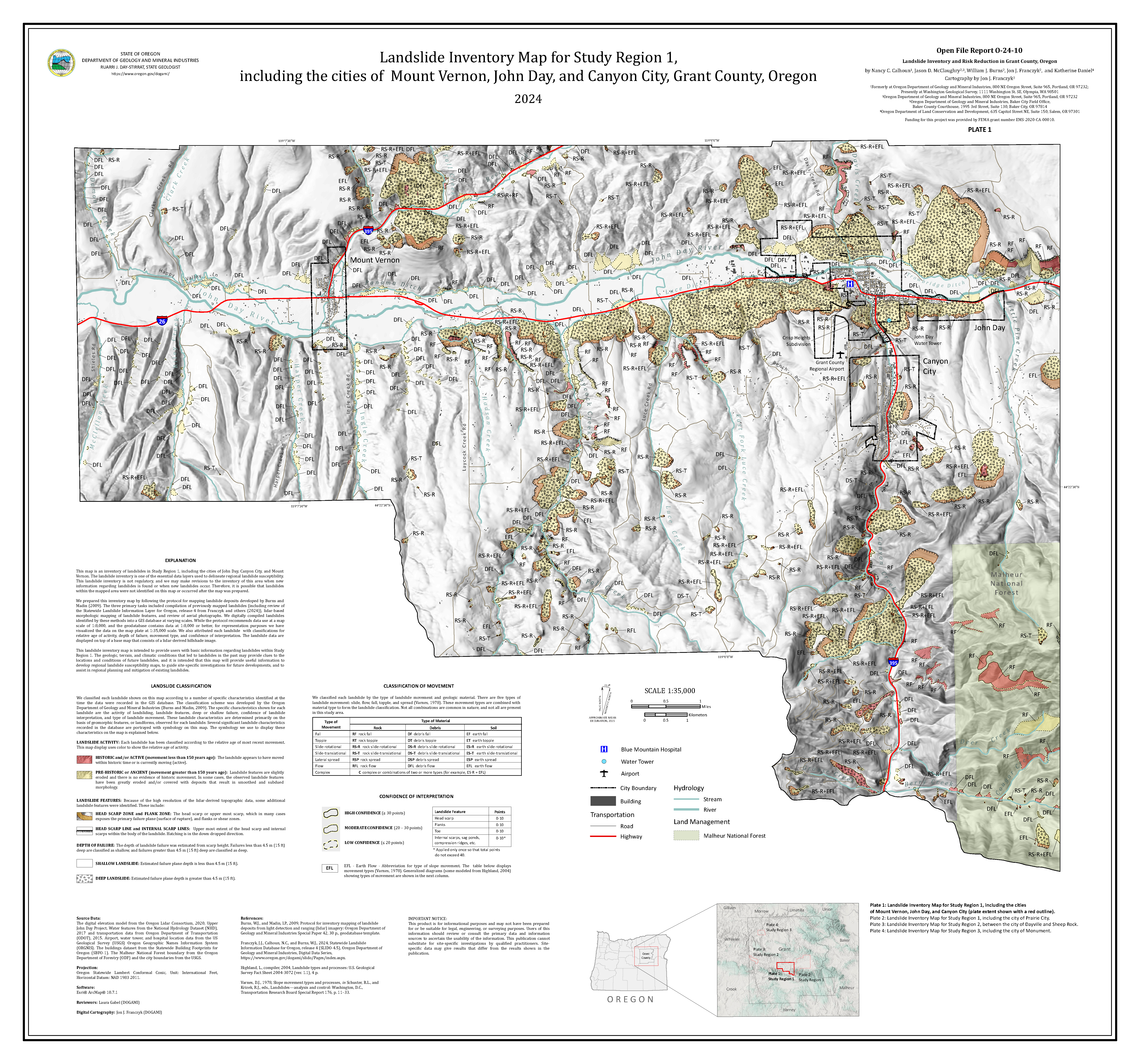
Plate 2: Landslide Inventory Map for Study Region 1, including the city of Prairie City, Grant County, Oregon (9.9 MB PDF)