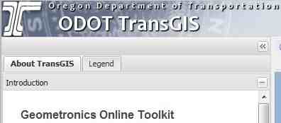
The
Geometronics Online Toolkit works within the Oregon Department of Transportation's TransGIS application, providing:
- Maps and status of the Oregon Real-time GNSS Network.
- Distortion rasters for the Oregon Coordinate Reference System (OCRS).
- Distortion for State Plan North and South projections.
- Distortion for Oregon Lambert projections.
Geometronics Online Toolkit
There are two components of the online toolkit:
- Oregon Coordinate Reference System.
- Oregon Real-time GNSS Network.

OCRS
The Oregon Coordinate Reference System component of the toolkit allows users to:
- Determine the best OCRS low-distortion projection zone for their project.
- Display all of the OCRS zones on a map.
- View the actual distortion of a particular OCRS zone in the vicinity of their project.
ORGN
The Oregon Real-time GNSS Network component of the toolkit allows users to:
- View the status and constellations tracked (by symbology) or ORGN sites.
- View a map of coverage areas in Oregon where real-time GNSS correctors are available.
- View or download the ORGN station list, with coordinates and web link for each station.