Get to Know the Region
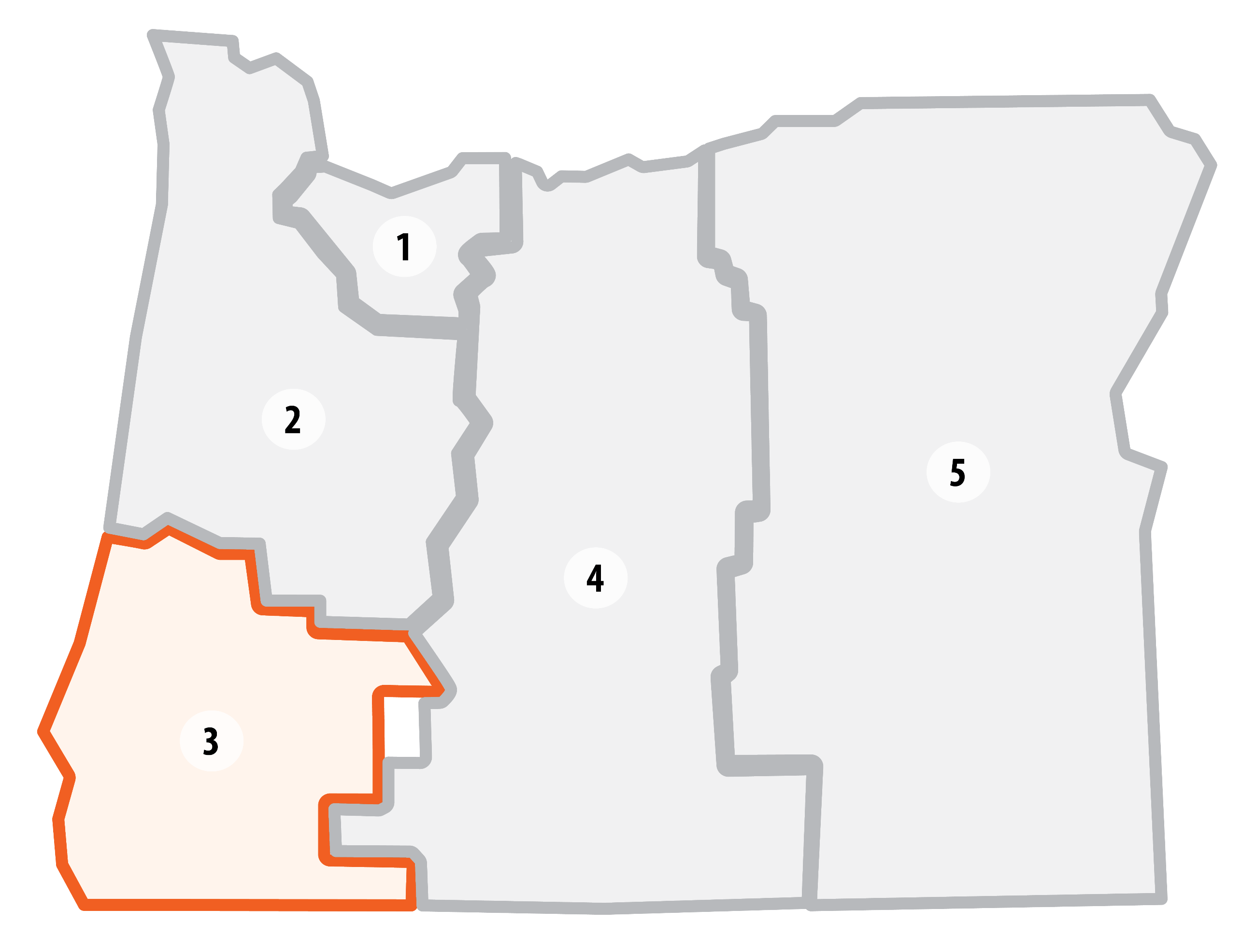 Region 3 builds, operates and maintains the state’s multimodal transportation system in southwestern Oregon for more than 508,000 residents in Coos, Curry, Douglas, Jackson, and Josephine counties, as well as visitors to the area. The region is geographically diverse, with coastal highways, major valley routes and several mountain passes.
We maintain the major freight corridors for SW Oregon – including Oregon’s longest stretch of Interstate 5 – and several scenic byways. Recreation destinations such as Crater Lake, Oregon Caves, and the scenic coastal areas bring many travelers to our area.
Dramatic and variable weather conditions create multiple challenges. In the summer, hot and dry conditions often contribute to wildfires, and winter storms bring heavy precipitation to the mountain passes and coastal ranges. Siskiyou Summit on I-5 is the highest elevation pass on I-5 between Mexico and Canada. In areas with unstable slopes, landslides send rocks and trees onto the roadway. In some cases, the road is damaged enough to lead to weeks-long closures, keeping commerce from moving efficiently through the state.
Key Stats
Lane Miles: 2,812
Bridges: 466
Highlighted Projects for 2027-2030
We've selected a few Region 3 projects as examples of the type of work you can expect from this STIP cycle.
Grants Pass Intersection Improvement & Signal Upgrades


 U.S. 101: Jim Creek

 U.S. 101: Centerline Rumble Strips (Bandon to Coos Bay
 OR 38: Rockfall Mitigation
I-5: Clear Zone Improvements (Lane County Line to Riddle)
OR 38: Rockfall Mitigation
I-5: Clear Zone Improvements (Lane County Line to Riddle)