October 12, 2026 - GIS Maps and services may be down or experiencing slow loading times. DOGAMI staff are working to address the issue, but we do not yet have an ETA on a fix.
Interactive Maps
DOGAMI's interactive maps, GIS data, and map services help Oregonians better understand our state's geology and geologic hazards.
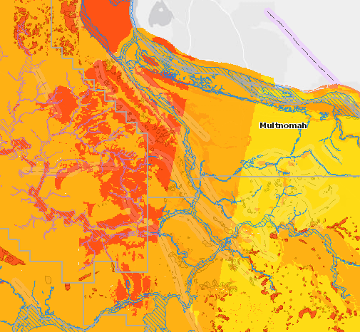
Hazards
HazVu, Oregon Statewide Geohazards Viewer shows landslide, flood, tsunami, coastal erosion, earthquake shaking, fault, and volcano geohazards.
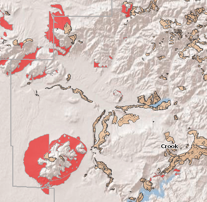
Landslides
SLIDO, Statewide Landslide Information Database for Oregon, shows landslides that have been identified on published maps.
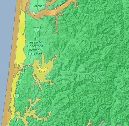
Oregon Tsunami Explorer
The
Oregon Tsunami Explorer allows the user to visualize tsunami evacuation zones developed for Oregon.
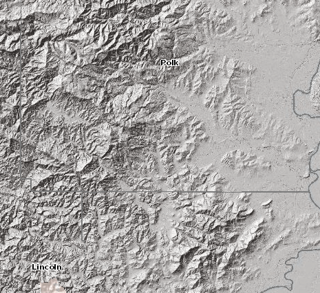
Lidar Data
Lidar Data Viewer shows shaded relief imagery for Oregon.
Geology
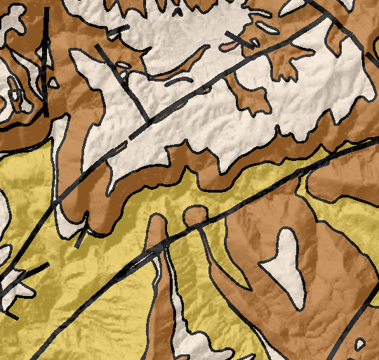
Geologic Map of Oregon shows the incredible variety of rock types that make up our state.
Minerals
MILO, Mineral Information Layer for Oregon, shows information regarding mineral occurrences, prospects, and mines.

Geothermal
GTILO, Geothermal Information Layer for Oregon,
shows features of thermal springs and wells and direct-use areas.
Mining Permits
Permit Viewer shows mine site locations and information, including downloadable permit files.
Mount Hood
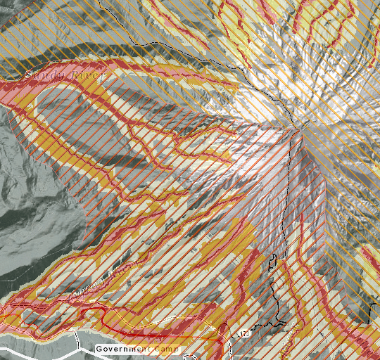
Mount Hood Multihazard Viewer shows the intersection of geologic hazards and community assets.
DOGAMI interactive maps provide general information about Oregon's geology and geologic hazards and are not intended to be used for site-specific planning or to replace site-specific investigations.
GIS Data and Services
Geospatial data for download and web map services maintained by DOGAMI. Specialty software is needed to download data and use map services.
Hazards
| Theme | Dataset | Publish
Date | Download | Map Services |
|---|
| Flood |
Statewide Levee Database for Oregon, release 1.0: Major agricultural and urban areas in western Oregon and along the Columbia River (Open File Report O-17-02) | 2017 |
O-17-02_bundle.zip (14 MB)
| — |
| Landslide |
Statewide Landslide Information Database for Oregon (SLIDO release 4.4) | 2020 |
SLIDO-4.4_publication_bundle.zip (479 MB)
| yes; see
SLIDO data page. Services: Landslide Polygons; Historically Active Landslide Points; Source Map References; Landslide Susceptibility |
| Landslide |
Statewide Landslide Susceptibility Overview (part of
DOGAMI Open-File Report O-16-02) | 2016 | .tif format georeferenced raster file (as part of publication bundle)
O-16-02.zip (306 MB)
|
| Earthquake | Magnitude 9.0 Cascadia Earthquake Data (part of
Open-File Report O-13-06, Oregon Resilience Plan) | 2013 |
ORP_Ground_Motion_and_
Ground_Failure_Maps.gdb.rar
(1.7 GB) | — |
| Radon |
Radon Potential (part of
Open-File Report O-18-01, Radon |
Potential in Oregon) | 2018 | Radon_Potential_in_Oregon.gdb (as part of publication bundle)
O-18-01_bundle.zip (79 MB) | — |
| Tsunami | Tsunami Evacuation Zones (part of
Open-File Report O-13-19, Tsunami inundation scenarios for Oregon)
| 2013 |
O-13-19_
EvacuationBrochure_Data.zip
(15 MB)
| — |
| Tsunami | Tsunami Inundation Scenarios (part of
Open-File Report O-13-19, Tsunami inundation scenarios for Oregon)
| 2013 |
O-13-19_
Statewide_Tsunami_Scenarios.zip
(39 MB)
| — |
| Tsunami | The Oregon Tsunami Geospatial Compilation, release 1 (OTGC-1.0), includes a comprehensive collection of tsunami modeling data produced by DOGAMI from 2011 to 2021. The compilation includes evacuation zones, runup elevations, and wave arrival times for both a local Cascadia source (XXL) and distant Alaska source earthquake. Other datasets include additional inundation zones, flow depths and currents for multiple scenarios.
| 2022
| —
|
Oregon Tsunami Data Compilation |
Geologic and Mineral Resources
Lidar
| Theme | Dataset | Publish/ Revision
Date | Download | Map Services | Metadata |
|---|
| Current Project Area Status | Past, current, and developing lidar collection areas in OGIC (NAD 1983 2011 Oregon Statewide Lambert Ft Intl) and Web Mercator projections | 2021 | yes; see
Lidar page sidebar | no | yes; see
Lidar page sidebar |
| Lidar data | Digital elevation model mosaic (bare earth); Digital elevation model hillshade mosaic (bare earth hillshade); Bare earth slope; Canopy height model mosaic; Canopy height model hillshade mosaic; Digital surface model mosaic (highest hit); Digital surface model hillshade mosaic (highest hit hillshade) | 2021 | —
| yes; see
Lidar page sidebar | yes; see
Lidar page sidebar |
Resources