Background on Historical Analysis Files
The digital records available through the
interactive map are scans of the analyses originally found in DOGAMI’s unpublished hardcopy holdings from the Portland and Grants Pass collections. Individual PDF files were created from high-resolution scans of the original "Logs" and "Request for Sample Information" paper files. Location information is used to link each analytical record with its corresponding PLSS geospatial data point, based on township, range, section, and quarter section information. When PLSS information is not available the analytical record is linked to Oregon county's centroid or Oregon centroid.
Go to MILO statewide map
Disclaimer: Mining sites are included for informational purposes
only and should not be used to infer acceptable or permitted land use actions.
Interested parties should contact their local land use authority to verify
zoning and applicable land use ordinances. Respect the rights of private
property owners. Understand that recreation in or around inactive mine sites is
extremely dangerous and can result in serious injury or death. Stay out and
stay alive! No warranty expressed
or implied is made regarding the accuracy or utility of the data on any other
system or for general or scientific purposes, nor shall the act of distribution
constitute any such warranty. These data should not be used for site-specific
studies. The Oregon Department of Geology and Mineral Industries shall not be
held liable for improper or incorrect use of the data described and/or
contained herein.
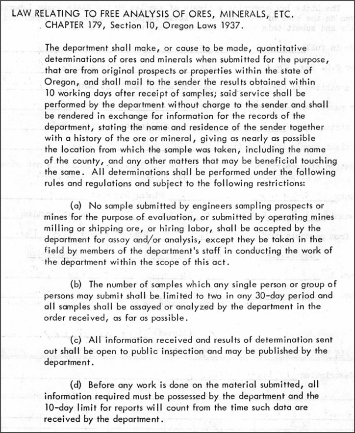
1937 Oregon law relating to the free analysis of rocks, ores, and minerals
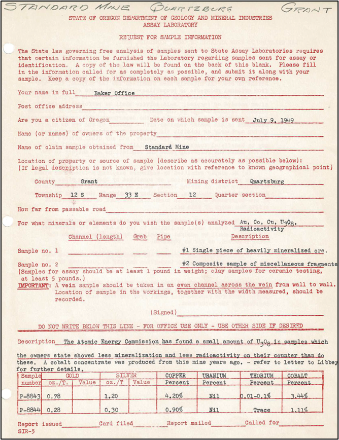
Example of a DOGAMI unpublished government historical assay record.
(This record is not included as part of MILO-4 but will be added in a future release.)
This digital archive is evolving. Please contact us if you have suggestions or find errors.
Questions?
Email: dogami-info@oregon.gov
Phone: 971-673-1555